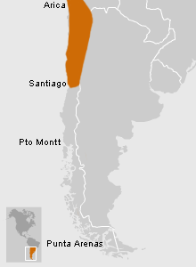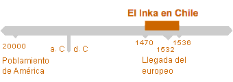
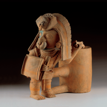
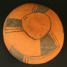

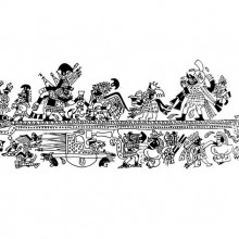


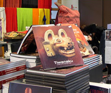
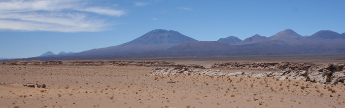
Tawantinsuyu, the name given by the Inka to their empire, was divided into four large provinces with the Inka capital of Cuzco at the center. To the North was Kuntisuyu, to the East Antisuyu, and to the West, Chinchasuyu. The southern province of Kollasuyu extended southward into what is today part of Bolivia, northeast Argentina and Chile, ultimately extending just south of the Maipo River in Central Chile.
How to Arrive
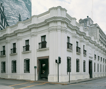
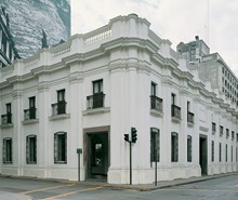
El Museo se encuentra ubicado en pleno centro de Santiago, en la esquina de las calles Bandera y Compañía, a una cuadra de la Plaza de Armas.
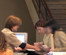
Tickets
Chileans and resident foreigners: $1,000 Foreigners: $8,000 Chilean students and resident foreigners: $500 Foreign students: $4,000

Guided Visit
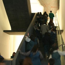
El Museo cuenta con un servicio de guías, sin costo adicional, para los establecimientos educacionales.

Information for Teachers
Invitamos especialmente a coordinarse con alguno de nuestros guías para programar una visita o actividades de motivación y seguimiento que aprovechen de la mejor forma la experiencia de visitarnos.
Audioguides
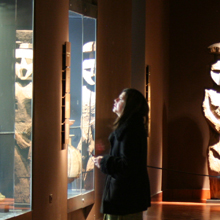
Download recordings of the Permanent Exhibition display texts in English, French, Portuguese and Spanish here. These audioguides are in mp3 format and are arranged by cultural area, following the same order as our exhibit galleries. Descargue desde esta página audioguías en castellano, inglés, francés y portugués con los textos de las vitrinas de la […]