


Quipu: Counting with knots in the Inka Empire – 2003
- Record-keeping with knots
- The quipu and writing
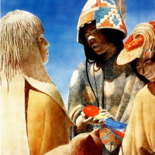
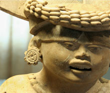
- Tawantinsuyu , the Inka Empire
- The Quipu, and the needs of an empire
- Quipus and tribute
- Basic parts of a Quipu
- Making a Quipu
- Quipus and numerical values
- Narrative Quipus?
- Los distintos usos del Quipu
- Quipu of Arica
- Quipucamayoc , Lord of the Knots
- Quipus in the colonial era
- Epilogue
- To know more about Quipus
- Crédits and acknowledgements

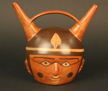
Quipu with colored string cords. Probably, pre-Inka quipu. American Museum of Natural History, N° 41.2/7679. Photo, courtesy of the AMNH.
The Quipu, and the needs of an empire
Tawantinsuyu’s vast territory included a wide range of environments and a complex array of vertical ecological zones, from the Pacific coastal desert, in the west, over the high Andes Cordillera, and down to the humid tropical forest lowlands in the east.
The Inkas’ central challenge was the scheduling and coordination of their activities over an area characterized by significant differences in the timing of the planting and harvesting of crops, the pasturing of camelids, and the availability of various resources. They had to organize and coordinate the production of food crops, cotton, wool, minerals, metals and other raw materials and finished articles, as well as to store and inventory these products in the collcas, or state warehouses. The timing of these activities required the careful recording of temporal periods based on the observation of astronomical cycles, which led to the development of a well-coordinated calendar system scheduling from the planting and harvesting of crops to the celebration of state and local rituals.
The quipu was ideally suited to the registration and display of this vast, complex and diverse information throughout the Empire.