


Quipu: Counting with knots in the Inka Empire – 2003
- Record-keeping with knots
- The quipu and writing
- Tawantinsuyu , the Inka Empire
- The Quipu, and the needs of an empire
- Quipus and tribute
- Basic parts of a Quipu
- Making a Quipu
- Quipus and numerical values
- Narrative Quipus?
- Los distintos usos del Quipu
- Quipu of Arica
- Quipucamayoc , Lord of the Knots
- Quipus in the colonial era
- Epilogue
- To know more about Quipus
- Crédits and acknowledgements
.
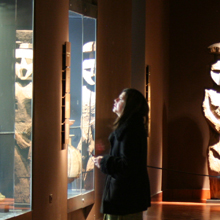
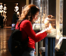
Museo Chileno de Arte Precolombino Collections.")
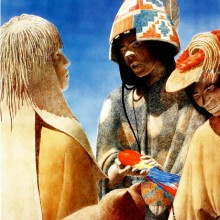
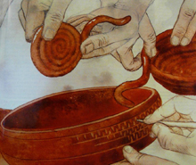
Selecting objects from the Inka Empire and from the Collasuyu province (Arica). Museo Chileno de Arte Precolombino Collections.

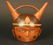
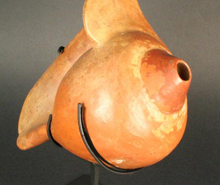
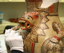
Aríbalo ceramic bottle. Inka Empire, AD 1400 – 1532. Museo Chileno de Arte Precolombino, 2646.

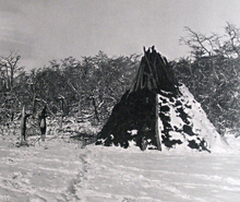
The ecological diversity in four of his suyus or provinces of the vast Inka Empire territory, united through its complex network of roads. Inka major sites and main places where there have been quipus indicated.
Tawantinsuyu , the Inka Empire
Beginning in the early fifteenth century, the Inkas conquered through diplomacy and arms innumerable Andean kingdoms, chiefdoms and tribes, forming an empire that politically united a territory stretching over 5,000 kilometers, from the southern part of Colombia, down through Ecuador, Peru, Bolivia and northwest Argentina, to central Chile. At the Empire’s height, the Inka governors ruled a population that probably exceeded ten million.
Tawantinsuyu, the name for the Inka Empire in Quechua, the language of the Inkas, was divided for political and administrative reasons into four suyus, or regions: Chinchaysuyu, Condesuyu, Antisuyu and Collasuyu. From its capital, Cuzco, roads led to each of these regions. This highway network – Qhapaqñan – comprised around 40,000 kilometers of main and secondary routes, along which engineers and architects built almost 2,000 tambos and tambillos, outposts, that were about 15 to 25 kilometers apart. While these settlements primarily provided lodging to individuals or groups on official missions, they also served as places to store food, forage, firewood and other products (clothing, arms), and handled various administrative tasks. In addition, they assisted in the production of ceramics, and the management of the highways, mining operations, military support, and ceremonial activities. Here, the state llama herdsmen stayed overnight with their flocks that transported articles throughout the Empire.